Recently we were consulted in the sense of an area of digital work that we had not explored until that moment, Cartography and digital statistics, GIS.
For more than a decade, Geopositioning systems have entered the digital consumption of the general public, this thanks to simple tasks such as GPS location, route mapping, distance consultation, being Google Maps one of the most popular platforms It has benefited from the consumption of this information as well as from the contribution by users, creating a product and changing the vision of these tools with a focus on consumer and business consumption.
However, being a massive amount of data under the terms and conditions of a company, there is a need to have free information, under open and standardized licensing use, as well as the tools to make use of digital cartographic information and related statistics in analysis and visualization, at best, in real time.
This is where 2 projects come into play that although very different in objectives share a common universe,
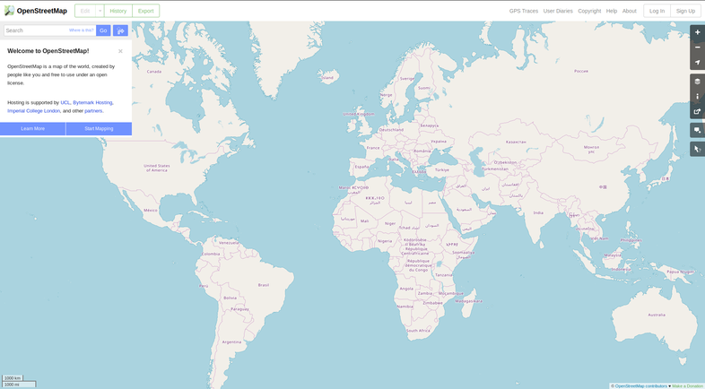
A collaborative project to create a free and editable map of the world. The place of the map itself, the information generated by the project is considered its main product.
OSM is considered a prominent example of geographic information by volunteers.
CARTO (formerly CartoDB) is a software platform as a service that provides GIS tools, web mapping and spatial data science.
The company is positioned as a location intelligence platform due to tools capable of analyzing and displaying data.
This dumbbell of collaborative and business work, are the main exponents in the field of geography and statistics within a culture of open and standardized development, thus having digital tools that allow organizations, governments and businesses to access and work geo-statistical data for their own ends.
About licensing
OpenStreetMap® is Open Data (a free access data service), licensed Open Data Commons Open Database License (ODbL) of the OpenStreetMap Foundation (OSMF), which requires as part of its license to give recognition of project partners when project information is used.
Carto® , now distributed primarily as a software as a service under a License Agreement with the End User as many platforms developed under a FLOSS license model, it still uses a free and open source software license for its development, Modified BSD or BDS of 3 clauses, under which it continues its development.
Even though GIS software is not new, digital platforms that allow statistical analysis at the CARTO level dynamically and in real time are specific cases of innovation supported by the wide freedom that free and open source software allows.
We believe that this area of high specialization plays an important role in the analysis of information and subsequent decision-making, which is why the existence of tools that are generally developed under an ethical, reliable and auditable model is important, allowing access to real and verifiable information.